The guides were not kidding when they said that the trek to the summit of Mt. Kalisungan (also known as Mt. Calauan) is mostly uphill. I’m being modest when I say the “flat” part of the trail is only about 5%. Mt. Kalisungan in Calauan, Laguna for me is the best proof that the difficulty of climbing is not in the height of the mountain, but the no-nonsense steepness of the trail that makes a minor hike seem more difficult than it should be.
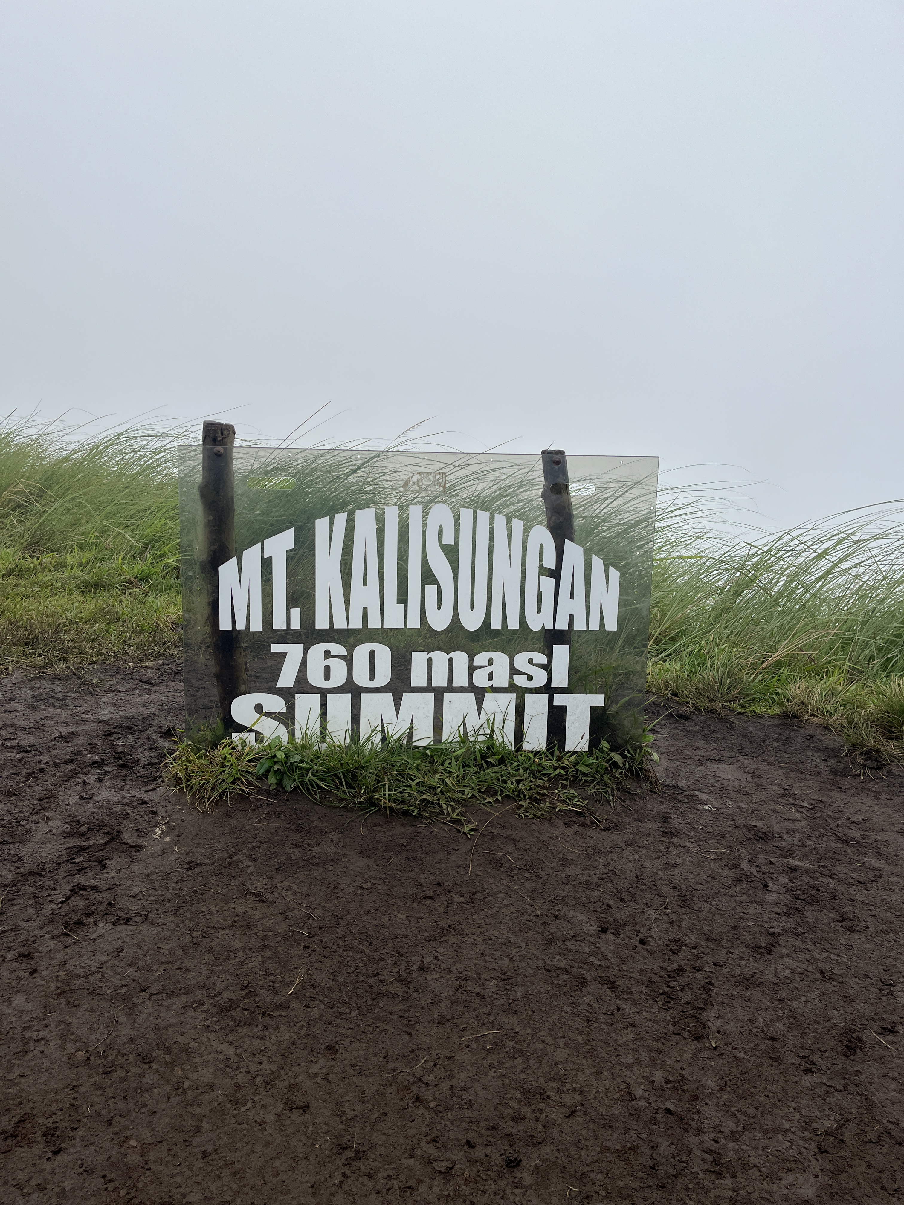
This mountain stands at 760 meters above sea level, which is lower than Mt. Batulao; but at least the latter has long flat parts especially the new trail. When the locals of Calauan created the trail for Mt. Kalisungan, they weren’t messing around. They were like, “why make a longer, winding trail with flat portions when you could go straight all the way up like a boss!”
The estimated standard time from jump off to summit is 2-3 hours. I made it to the summit in just a little under three hours, and I was the last one in the group to reach the top as usual. Can I get a woot woot!
5 stations of muddy trail
There was a heavy downpour at early dawn on the day of our hike. El Niño what now? We were expecting a hot, dry hike that day but Mother Nature had other plans.
The rain had stopped by the time we started hiking at 5AM. There we went, sloshing through mud all the way through 5 stations of non-stop uphill climb. One would think that it would be cooler because of the earlier rainfall, but noooo. I think the rain only made the humidity so high I could fill my water bladder with sweat.
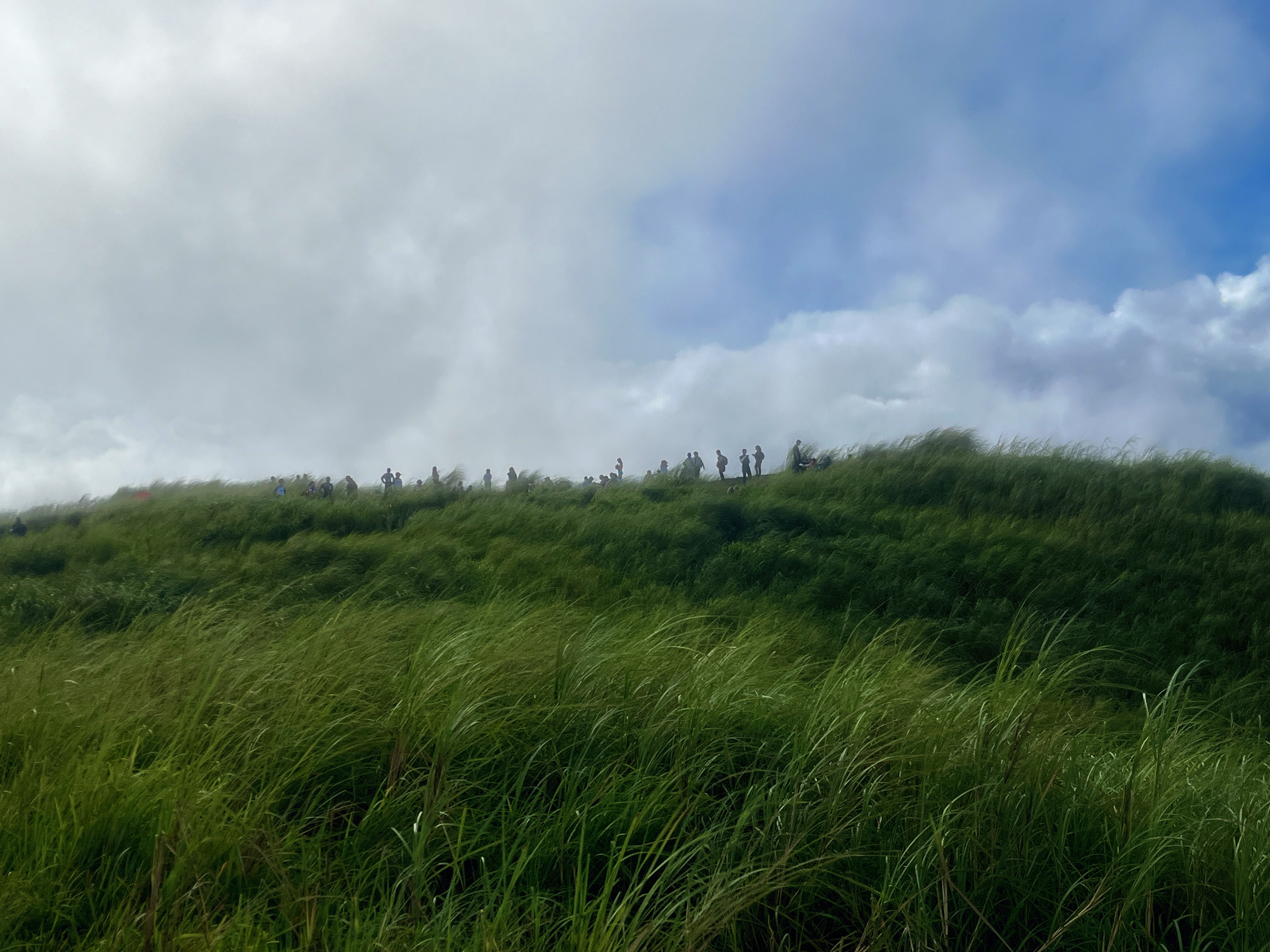
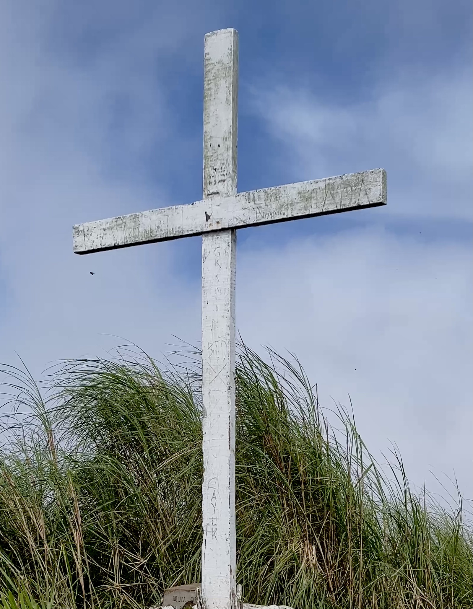
After the 5th station comes the grassland that brought us to a white cross before descending a bit toward the flat part of the summit.
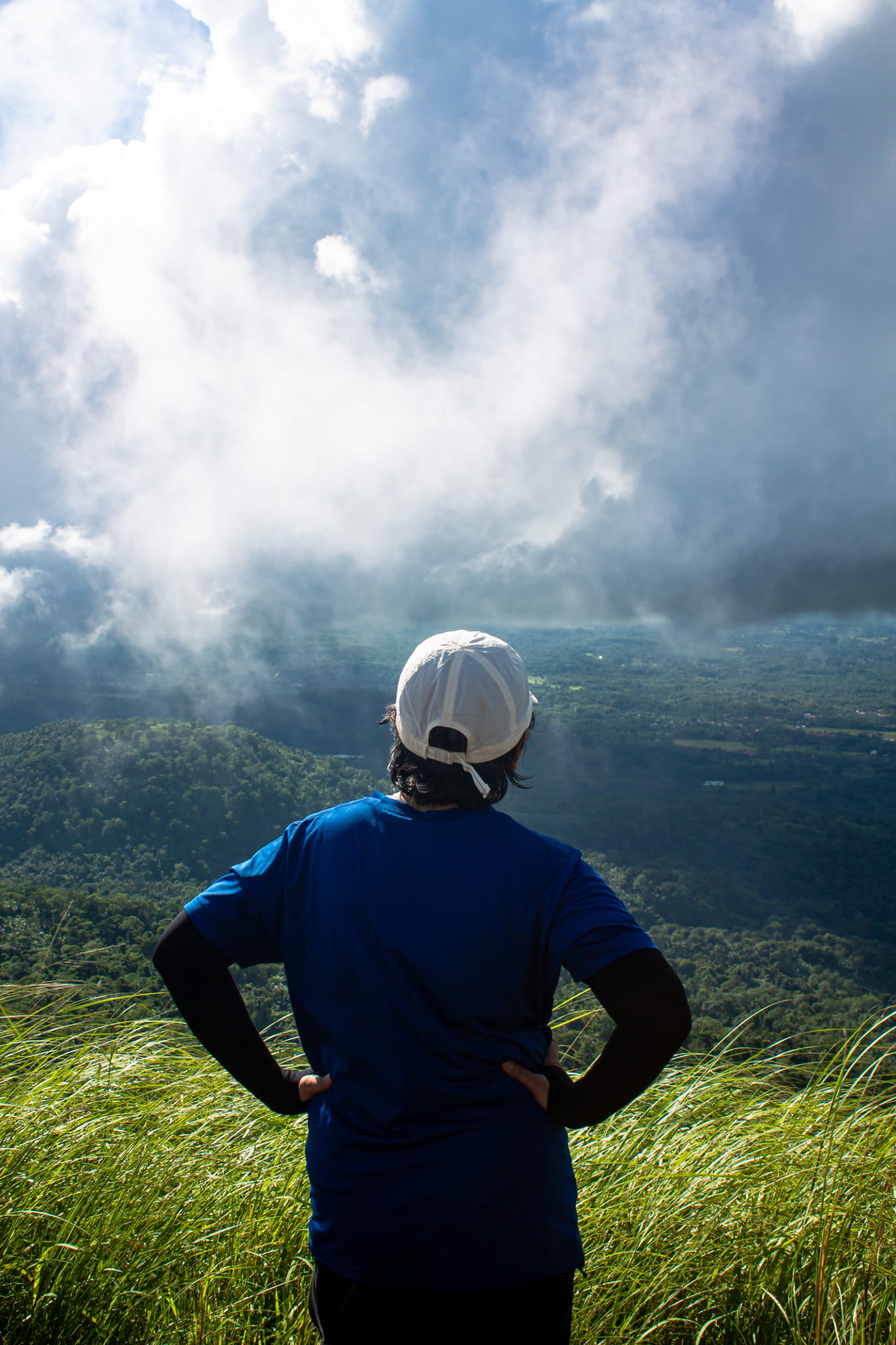
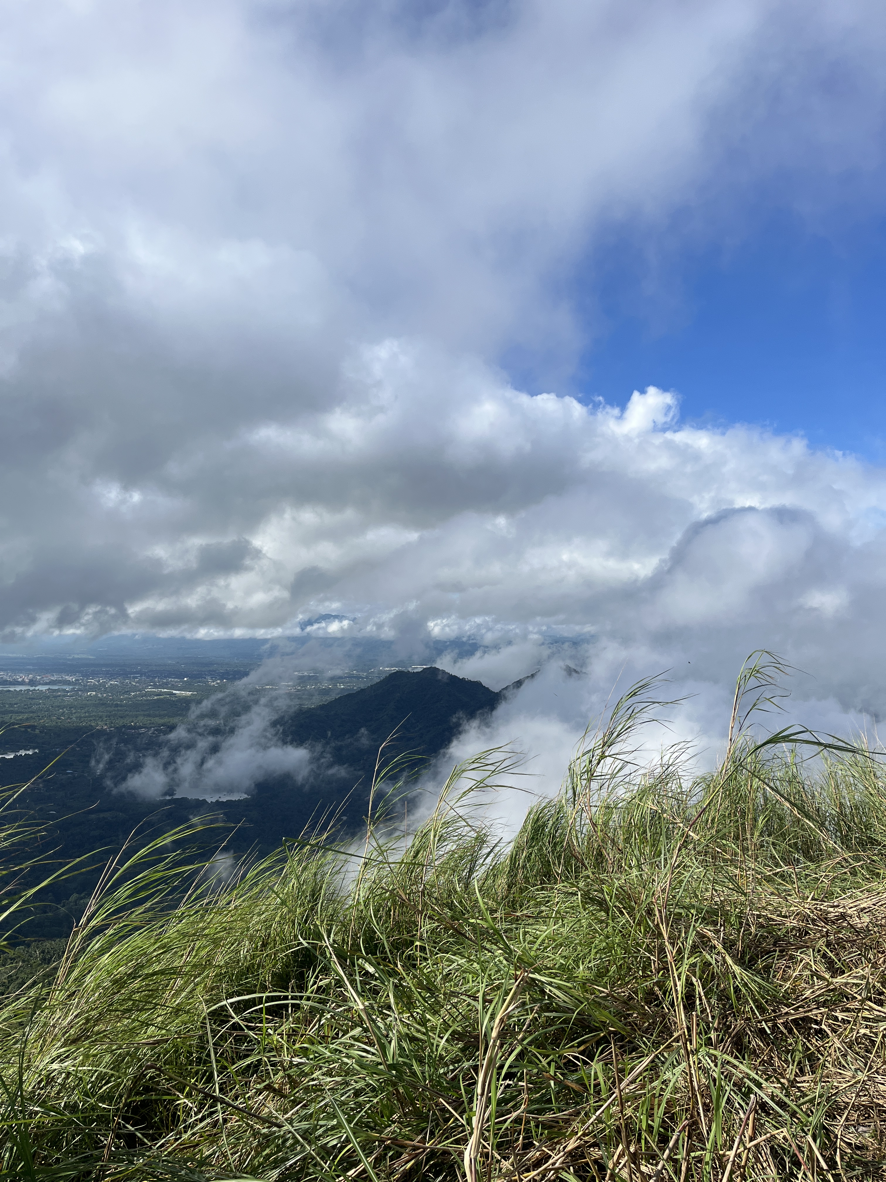
As always, the summit gives every weary hiker an indescribable high. Here in Mt. Kalisungan, you can see Mt. Banahaw, Mt. Cristobal, Mt. Makiling and Laguna de Bay. We were greeted by the crisp air brought by rolling clouds that covered us and the view before clearing out, and back again. The heat from the sun pricks the skin like fallen knives from the sky every time the clouds would clear out, so rolling thick clouds were very much welcomed.
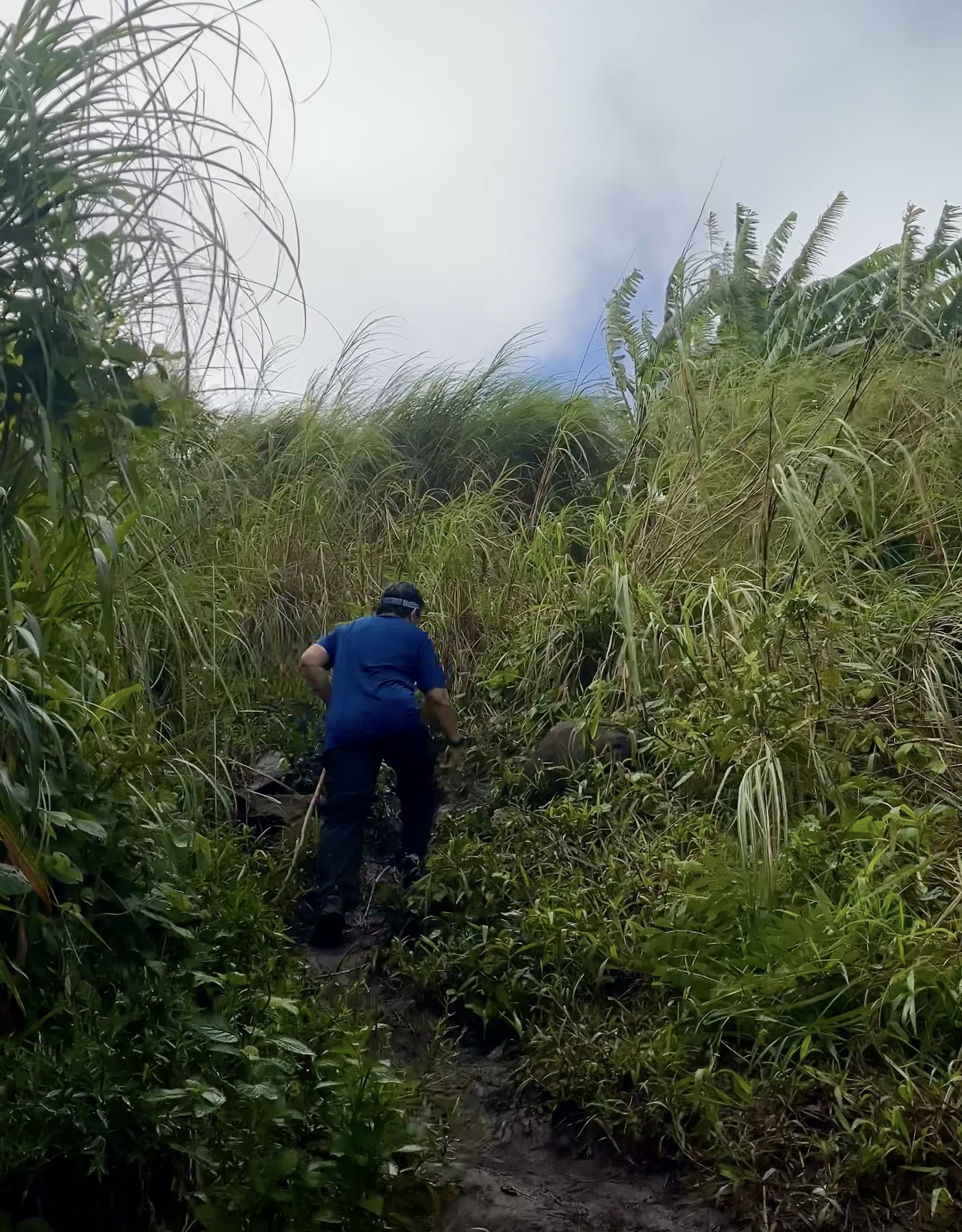
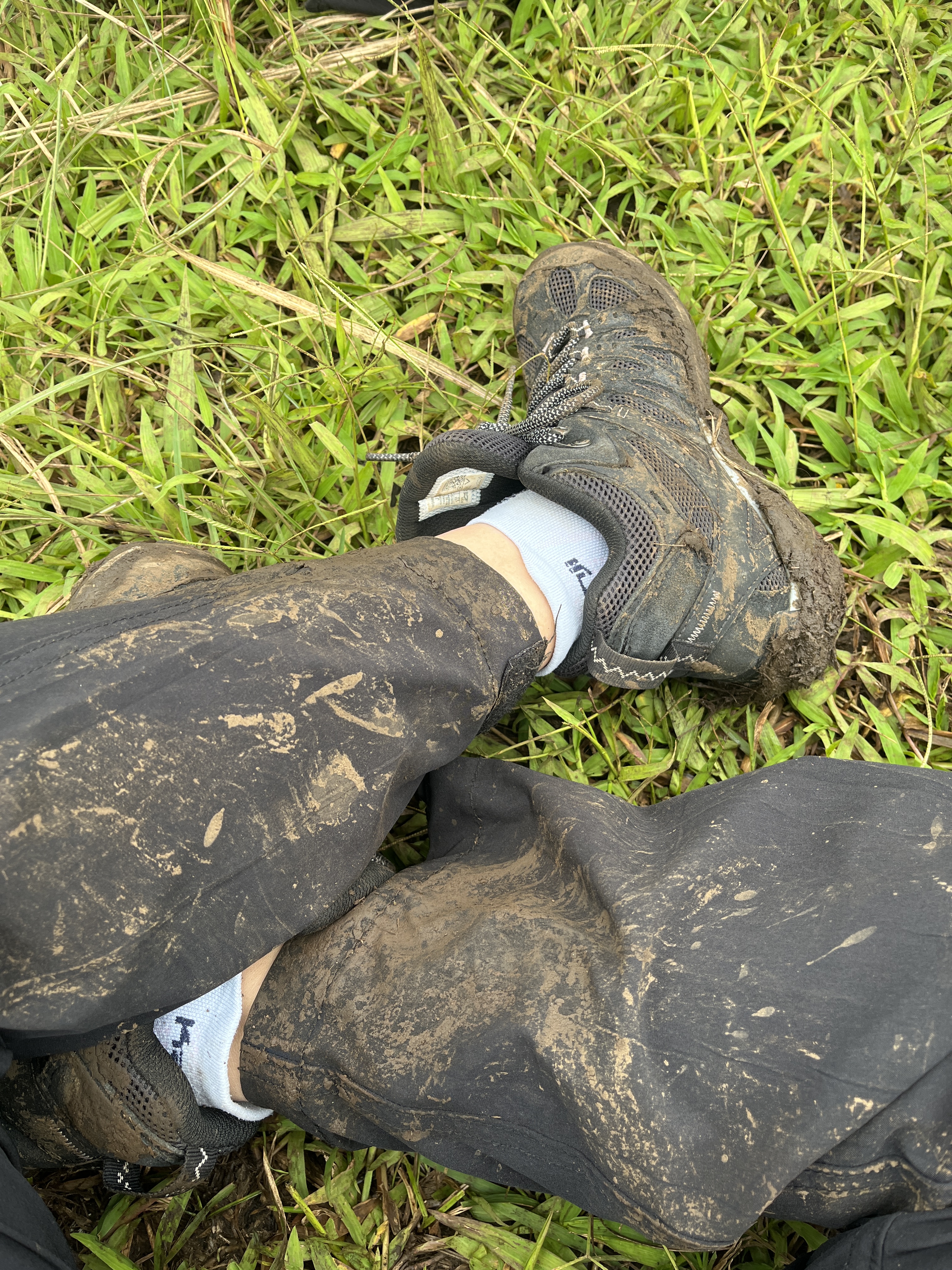
We expected the descent back to the jump off to be difficult because of the steep and muddy trail, but it was harder than I thought. The most difficult was going down through the grassland because it was the steepest and the most slippery part. Needless to say, that was the part where most of us slipped and slid downward, hanging on to whatever part of the overgrown grass we could get hold of for dear life.
It rained again by the time we reached the third station going down. By that time, I was already tired — not “exhausted” tied, but “bored” tired. Trails do seem longer when the steep+rain+mud formulae applies.
One thing I have to admire about this mountain is the pristine condition of the forest. While it’s obviously disturbed by human intervention and has become home to some non-endemic plants and trees, Kuya Edward, the leader of the local tour guides, says that they regularly go up and down the mountain just to pick up trash that irresponsible hikers and other visitors leave behind (ugh!).
Come to think of it, one can really complete the hike up and down Mt. Kalisungan within 2-4 hours if conditions are fair. So yeah, I did well on this one despite the unfavorable elements. On to the next!


